Catégorie:Plan de Rennes (image)
De WikiRennes
Aller à la navigationAller à la rechercheMédia dans la catégorie « Plan de Rennes (image) »
Cette catégorie comprend 20 fichiers, dont les 20 ci-dessous.
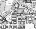
 Plan Projet Partie incendiee ville de Rennes Extrait St Michel.jpg 1 375 × 736 ; 148 kio
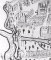
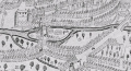 Plan de 1616 (centre - rue de l'Ile).jpg 869 × 471 ; 160 kio
 Plan de 1616 (Chapelle des Carmes).jpg 354 × 303 ; 43 kio
 Plan de 1616 (Eglise St Germain).jpg 445 × 339 ; 63 kio
 Plan de 1616 (Horloge).jpg 469 × 401 ; 86 kio
 Plan de 1616 (Porte aux Foulons).jpg 614 × 353 ; 100 kio
 Plan de 1616 (Porte Blanche).jpg 764 × 588 ; 125 kio
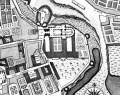
 Plan de 1616 (Porte Mordelaise).jpg 601 × 513 ; 91 kio
 Plan de 1616 (Porte St Georges).jpg 543 × 614 ; 110 kio
 Plan de 1616 (Porte St Germain).jpg 681 × 310 ; 78 kio
 Plan de 1616 (Porte St Michel).jpg 604 × 593 ; 143 kio
 Plan de 1616 (Pre Botte).jpg 403 × 433 ; 62 kio
 Plan de 1616 (St Pierre - Cartage).jpg 578 × 351 ; 90 kio
 Plan de 1616 (St Pierre - Poterne St Yves).jpg 554 × 657 ; 186 kio
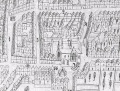
 Plan de 1726 (centre ouest).jpg 1 106 × 878 ; 379 kio
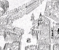
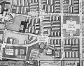
 Plan de 1726 (Place St Michel - Champ Jacquet).jpg 1 051 × 869 ; 360 kio
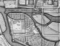 Plan de 1726 (Port St Yves - Champ Dolant).jpg 1 134 × 878 ; 422 kio
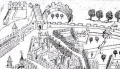
 Plan de 1726 (Porte Abbaye St Georges).jpg 1 101 × 871 ; 634 kio
 Plan de 1726 (Porte aux Foulons - Parlement).jpg 1 068 × 875 ; 483 kio
 Plan de 1726 (Porte Blanche - St Helier).jpg 1 047 × 865 ; 362 kio

.jpg)
.jpg)
.jpg)
.jpg)
.jpg)
.jpg)
.jpg)
.jpg)
.jpg)
.jpg)
.jpg)
.jpg)
.jpg)
.jpg)
.jpg)
.jpg)
.jpg)
.jpg)
.jpg)